April 16, 2019
Vancouver, BC – IsoEnergy Ltd. (TSX-V: ISO | OTCQX: ISENF) (the “Company” or “IsoEnergy”) is pleased to announce assay results for the last drill holes from the winter 2019 drilling program. Drill hole LE19-12 was collared 75m to the west of the discovery section and intersected 8.5m of 3.2% U3O8, 2.1% Ni and 0.2% Co, including 1.0m of 14.3% U3O8 and 1.1% Ni. The final drill hole of the program, LE19-13, was collared 75m east of the discovery section and intersected 2.5m of 0.6% U3O8, 0.2% Ni and 0.5% Co, including 0.5m of 1.6% U3O8, 0.4% Ni and 1.1% Co.
Highlights
- Drill hole LE19-12 intersected 8.5m of 3.2% U3O8, 2.1% Ni and 0.2% Co
- The mineralization at Hurricane remains open along strike and on each section drilled to date
- The company is fully funded for an aggressive follow-up drill campaign this summer
The Hurricane zone is a new discovery of shallow (330m below surface), high-grade uranium mineralization on the Company’s 100% owned Larocque East property (the “Property”) in the eastern Athabasca Basin of northern Saskatchewan (Figure 1). The Company recently completed the first follow-up drilling program after the discovery intersection in July 2018. Eleven of the twelve drill holes in the follow-up winter campaign intersected significant uranium mineralization. Hurricane now measures 150m (long) x 38m (wide) x up to 8.5m thick. The zone is open on all five sections drilled to date and along strike in both directions. The Company, having raised $5.5 million in December 2018, remains fully funded for a follow-up drilling campaign that is planned for the summer.
Craig Parry, Chief Executive Officer commented: “I am impressed by the continued growth of our Hurricane discovery. The thicknesses and grades of these intercepts are consistent with other high-grade deposits in the eastern Athabasca Basin. It is worth noting that Hurricane is in an excellent location, at a relatively shallow depth, not covered by any bodies of water and is within 40 km of the modern, high-grade McClean Lake uranium mill that currently has excess capacity. The team has done a tremendous job in making this discovery and advancing the project and are now eagerly preparing for our summer drill program. Given our strike rate to date – twelve of the thirteen holes we have drilled have hit mineralization – and the nature and extent of the discovery, we are optimistic about being able to deliver more positive news flow in the coming months.”
Steve Blower, Vice President, Exploration commented: “These 50m step-out intersections confirm the substantial size of the Hurricane zone. We’re about to kick off a program of ground DC-Resistivity geophysics that covers the Hurricane zone plus over five km of high-potential strike length extending to the east. These results will be used to help with targeting for a 14-hole, 6,000m follow-up drilling campaign in the immediate Hurricane area planned for this summer and will also aid future exploration efforts further afield.”
LE19-12
Vertical drill hole LE19-12 was drilled on section 4485E, 75m west of the discovery section and 76m east of the property boundary. The drill hole intersected an 8.5m interval of fracture controlled, disseminated, replacement and breccia fill styles of pitchblende uranium mineralization that averages 3.2% U3O8, 2.1% Ni and 0.2% Co. This long interval includes a 1.0m section that averages 14.3% U3O8 and 1.1% Ni, plus another 0.5m section that averages 12.8% U3O8, 15.0% Ni and 0.4% Co. The results are summarized in Table 1. Figure 2 shows the location of the drill hole in plan-view and Figure 3 shows the location relative to contoured grade X thickness values. Figure 4 shows the location on a cross-section. Note that the only other drill hole on this section, LE19-11, is located 28 metres to the north of LE19-12 and is also mineralized. The mineralization can be seen in the core photos of Figure 5.
LE19-13
Collared on section 4635E, 75 metres east of the discovery section, drill hole LE19-13 is the furthest hole drilled to the east on the Hurricane zone. It intersected uranium mineralization 50 metres east of previously disclosed drill hole LE19-06 (Table 1). Extensive faulting in the basal sandstone suggests that the optimal location on this section was overshot. The main intersection consists of 2.5m of fracture controlled, disseminated and replacement styles of pitchblende uranium mineralization that averages 0.6% U3O8. This includes a 0.5m section that averages 1.6% U3O8, as summarized in Table 1. Figure 6 shows the location of the drill hole on a cross-section.
Next Steps
A 53 line-km ground DC-resistivity survey will begin shortly on the Larocque East property. The survey will cover the Hurricane zone area and approximately 5.5km of highly prospective graphitic conductors that extend to the east of the zone. The results of the survey will be used to help target a planned follow-up drilling campaign in the immediate Hurricane zone area expected to begin in July, 2019.
Larocque East
Larocque East consists of 6 mineral claims totaling 3,200 hectares and was purchased in May, 2018. The Property is owned 100% by IsoEnergy and is not encumbered by any royalties or other interests. Larocque East is immediately adjacent to the north end of IsoEnergy’s Geiger property and is 35 kilometres northwest of Orano Canada’s McClean Lake uranium mine and mill.
The Property covers a 15-kilometre-long northeast extension of the Larocque Lake conductor system; a trend of graphitic metasedimentary basement rocks that is associated with significant uranium mineralization at the Hurricane zone, and in several occurrences on a neighbouring property to the southwest of Larocque East. The closest of these to Larocque East are the Larocque Lake and Larocque North zones, which are located 6.5 kilometres and 0.4 kilometres, respectively, to the southwest of the western Larocque East property boundary. Drilling at the Larocque Lake zone has returned historical intersections of up to 29.9% U3O8 over 7.0 metres in drill hole Q22-040. Drilling at the Larocque North zone has returned intersections of up to 2.05% U3O8 over 0.6 metres in drill hole Q22-16. Like the nearby Geiger property, Larocque East is located adjacent to the Wollaston-Mudjatik transition zone – a major crustal suture related to most of the major uranium deposits in the eastern Athabasca Basin. Importantly, the sandstone cover on Larocque East is thin, ranging between 140 metres and 330 metres in previous drilling.
In addition to the Hurricane zone discovery, four historical drill holes have intersected weak uranium mineralization at other locations on the Larocque East property to date, including drill hole KER-07 (0.12% U3O8 over 0.1 metre), located 400 metres east of the discovery section.
Table 1 – Hurricane Zone 2019 Drilling Radioactive Intervals
| Hole-ID | From (m) | To (m) | Length (m) | Radioactivity1,2 (CPS) | Chemical Assays | Location | ||
| U3O8 (%) | Ni (%) | Co (%) | ||||||
| LE19-023 | 316.5 | 320.0 | 3.5 | >1,000 | 0.2 | 0.1 | 0.2 | Section 4560E |
| and | 326.5 | 330.0 | 3.5 | >1,000 | 10.4 | 0.8 | 0.0 | |
| incl. | 328.5 | 330.0 | 1.5 | >20,000 | 23.6 | 1.6 | 0.0 | |
| incl. | 329.0 | 329.5 | 0.5 | >50,000 | 38.2 | 1.5 | 0.1 | |
| LE19-033 | 324.0 | 324.5 | 0.5 | >1,000 | 0.2 | 0.1 | 0.0 | Section 4560E |
| and | 326.5 | 329.5 | 3.0 | >1,000 | 2.7 | 2.3 | 0.0 | |
| incl. | 328.5 | 329.5 | 1.0 | >5,000 | 7.6 | 6.6 | 0.1 | |
| incl. | 329.0 | 329.5 | 0.5 | >20,000 | 13.3 | 11.8 | 0.1 | |
| LE19-043 | 329.0 | 329.5 | 0.5 | >1,000 | 0.1 | 0.0 | 0.0 | Section 4560E |
| 333.0 | 333.5 | 0.5 | >1,000 | 0.4 | 0.2 | 0.0 | ||
| LE19-053 | No significantly elevated radioactivity | Section 4560E | ||||||
| LE19-063 | 328.0 | 330.0 | 2.0 | >1,000 | 0.4 | 0.1 | 0.1 | Section 4585E |
| and | 332.0 | 336.0 | 4.0 | >5,000 | 3.8 | 1.1 | 0.0 | |
| incl. | 333.5 | 335.5 | 2.0 | >10,000 | 5.5 | 0.7 | 0.0 | |
| incl. | 333.5 | 334.0 | 0.5 | >20,000 | 13.7 | 1.2 | 0.0 | |
| LE19-073 | 325.0 | 331.0 | 6.0 | >1,000 | 0.4 | 0.8 | 1.4 | Section 4585E |
| incl. | 328.0 | 328.5 | 0.5 | >5,000 | 1.0 | 4.9 | 9.3 | |
| LE19-083 | 326.5 | 327.0 | 0.5 | >1,000 | 0.4 | 0.1 | 0.1 | Section 4535E |
| and | 333.0 | 336.5 | 3.5 | >1,000 | 0.8 | 1.5 | 0.4 | |
| incl. | 335.5 | 336.0 | 0.5 | >10,000 | 3.7 | 8.3 | 1.3 | |
| LE19-093 | 325.0 | 329.5 | 4.5 | >1,000 | 4.2 | 1.1 | 0.8 | Section 4535E |
| incl. | 327.0 | 329.0 | 2.0 | >20,000 | 6.8 | 1.9 | 1.3 | |
| LE19-103 | 331.5 | 333.0 | 1.5 | >1,000 | 0.6 | 1.7 | 1.9 | Section 4535E |
| LE19-113 | 333.0 | 333.5 | 0.5 | >5,000 | 2.1 | 0.1 | 0.1 | Section 4485E |
| LE19-124 | 320.5 | 329.0 | 8.5 | >1,000 | 3.2 | 2.1 | 0.2 | Section 4485E |
| incl. | 326.0 | 327.0 | 1.0 | >20,000 | 14.3 | 1.1 | 0.0 | |
| and incl. | 328.5 | 329.0 | 0.5 | >20,000 | 12.8 | 15.0 | 0.4 | |
| LE19-134 | 320.0 | 320.5 | 0.5 | >1,000 | 0.2 | 0.0 | 0.0 | Section 4635E |
| and | 321.5 | 324.0 | 2.5 | >1,000 | 0.6 | 0.2 | 0.5 | |
| incl. | 322.5 | 323.0 | 0.5 | >10,000 | 1.6 | 0.4 | 1.1 | |
Notes:
1. Radioactivity is total gamma from drill core measured with an RS-125 hand-held spectrometer.
- Measurements of total gamma cps on drill core are an indication of uranium content, but may not correlate with chemical assays.
- Radioactivity and chemical assays previously disclosed.
- Radioactivity previously disclosed.
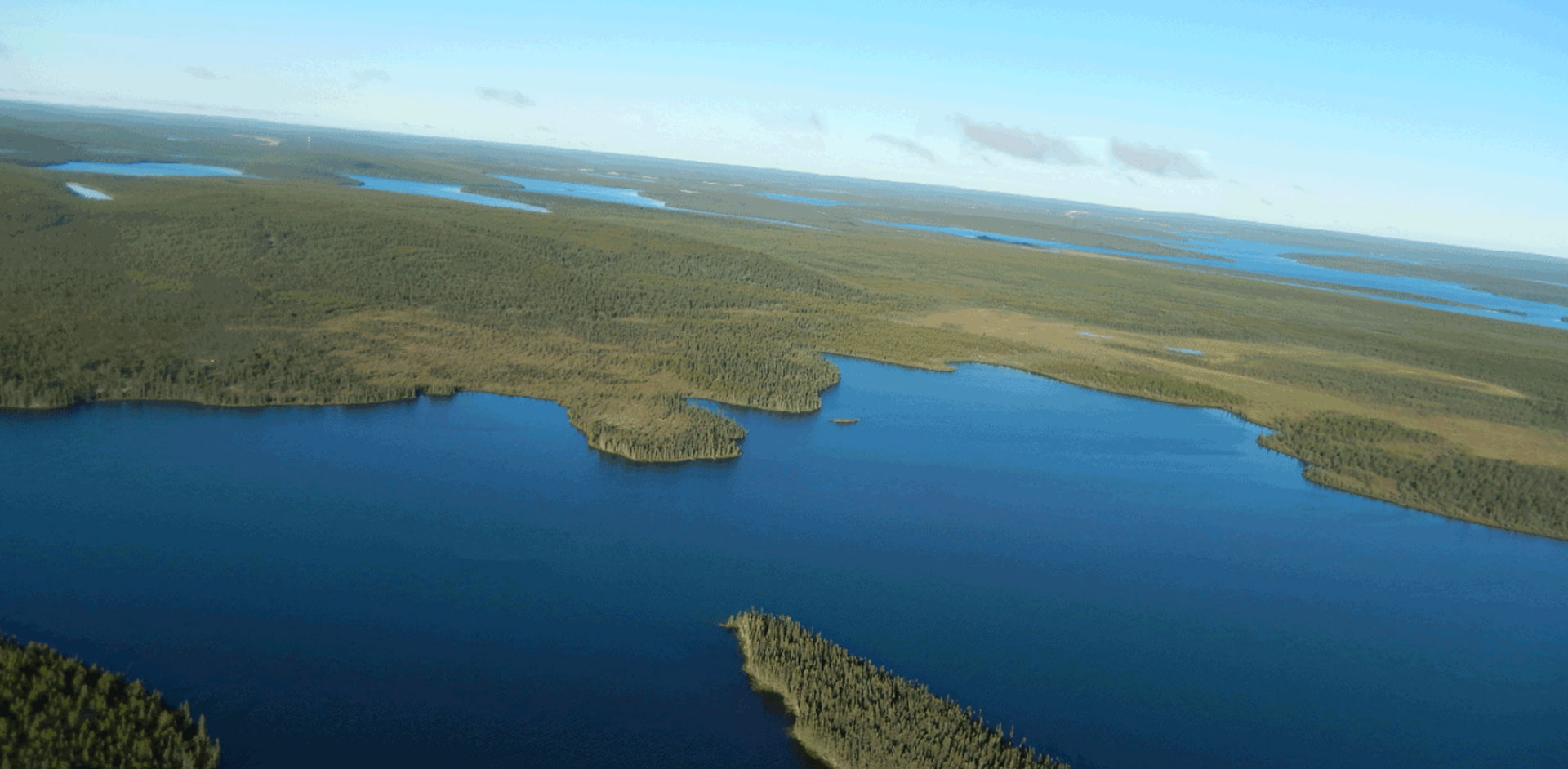
Figure 1 – Larocque East Property Location Map

Figure 2 –Hurricane Zone Planview 
Figure 3 –Hurricane Zone Contoured Grade X Thickness

Figure 4 – Cross-Section 4485E (Showing Drill Hole LE19-12)

Figure 5 – Core Photos of Mineralization in Drill Hole LE19-12

Figure 6 – Cross-Section 4635E (Showing Drill Hole LE19-13)

Qualified Person Statement
The scientific and technical information contained in this news release was prepared by Andy Carmichael, P.Geo., IsoEnergy’s Senior Geologist, who is a “qualified person” (as defined in National Instrument 43-101 – Standards of Disclosure for Mineral Projects). Mr. Carmichael has verified the data disclosed. This news release refers to properties other than those in which the Company has an interest. Mineralization on those other properties is not necessarily indicative of mineralization on the Company’s properties. An RS-125 hand-held spectrometer was used to verify that the radioactivity is due to uranium. As the drill holes reported herein are vertical or near-vertical, and the mineralization is interpreted to be horizontal, the true thickness is expected to be within 90% of the cored intervals.
About IsoEnergy
IsoEnergy is a well-funded uranium exploration and development company with a portfolio of prospective projects in the eastern Athabasca Basin in Saskatchewan, Canada and a historic inferred mineral resource estimate at the Mountain Lake uranium deposit in Nunavut. IsoEnergy is led by a Board and Management team with a track record of success in uranium exploration, development and operations. The Company was founded and is supported by the team at its major shareholder, NexGen Energy Ltd.
Craig Parry
Chief Executive Officer
IsoEnergy Ltd.</strong
+1 778 379 3211
cparry@isoenergy.ca
www.isoenergy.ca
Investor Relations
Kin Communications
+1 604 684 6730
iso@kincommunications.com
www.isoenergy.ca
Neither the TSX Venture Exchange nor its Regulations Services Provider (as that term is defined in the policies of the TSX Venture Exchange) accepts responsibility for the adequacy or accuracy of this release.
This news release shall not constitute an offer to sell or a solicitation of any offer to buy any securities, nor shall there be any sale of any securities in any jurisdiction in which such offer, solicitation or sale would be unlawful. The securities referenced herein have not been, nor will they be, registered under the United States Securities Act of 1933, as amended (the “U.S. Securities Act”), and such securities may not be offered or sold within the United States absent registration under the U.S. Securities Act or an applicable exemption from the registration requirements thereunder.
Forward-Looking Information
The information contained herein contains “forward-looking statements” within the meaning of the United States Private Securities Litigation Reform Act of 1995 and “forward-looking information” within the meaning of applicable Canadian securities legislation. “Forward-looking information” includes, but is not limited to, statements with respect to the activities, events or developments that the Company expects or anticipates will or may occur in the future, including, without limitation, planned exploration activities. Generally, but not always, forward-looking information and statements can be identified by the use of words such as “plans”, “expects”, “is expected”, “budget”, “scheduled”, “estimates”, “forecasts”, “intends”, “anticipates”, or “believes” or the negative connotation thereof or variations of such words and phrases or state that certain actions, events or results “may”, “could”, “would”, “might” or “will be taken”, “occur” or “be achieved” or the negative connotation thereof.
Such forward-looking information and statements are based on numerous assumptions, including among others, that the results of planned exploration activities are as anticipated, the price of uranium, the anticipated cost of planned exploration activities, that general business and economic conditions will not change in a material adverse manner, that financing will be available if and when needed and on reasonable terms, that third party contractors, equipment and supplies and governmental and other approvals required to conduct the Company’s planned exploration activities will be available on reasonable terms and in a timely manner. Although the assumptions made by the Company in providing forward-looking information or making forward-looking statements are considered reasonable by management at the time, there can be no assurance that such assumptions will prove to be accurate.
Forward-looking information and statements also involve known and unknown risks and uncertainties and other factors, which may cause actual events or results in future periods to differ materially from any projections of future events or results expressed or implied by such forward-looking information or statements, including, among others: negative operating cash flow and dependence on third party financing, uncertainty of additional financing, no known mineral reserves or resources, the limited operating history of the Company, the influence of a large shareholder, alternative sources of energy and uranium prices, aboriginal title and consultation issues, reliance on key management and other personnel, actual results of exploration activities being different than anticipated, changes in exploration programs based upon results, availability of third party contractors, availability of equipment and supplies, failure of equipment to operate as anticipated; accidents, effects of weather and other natural phenomena and other risks associated with the mineral exploration industry, environmental risks, changes in laws and regulations, community relations and delays in obtaining governmental or other approvals.
Although the Company has attempted to identify important factors that could cause actual results to differ materially from those contained in the forward-looking information or implied by forward-looking information, there may be other factors that cause results not to be as anticipated, estimated or intended. There can be no assurance that forward-looking information and statements will prove to be accurate, as actual results and future events could differ materially from those anticipated, estimated or intended. Accordingly, readers should not place undue reliance on forward-looking statements or information. The Company undertakes no obligation to update or reissue forward-looking information as a result of new information or events except as required by applicable securities laws